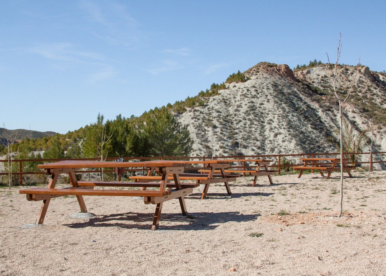
Arroyo Molinos recreation area

Municipality: Hinojares
Regions: Sierra de Cazorla
Latitude: 37.715244°
Longitude: -3.002728°
Altitude: 631.092 m
Video
The recreation area
Arroyo Molinos recreation area is located on the outskirts of the city Hinojares.
Near the visitors can enjoy the confluence of River Ceal and River Turrillas, the latter forming a beautiful valley. To the north, visitors can enjoy the confluence of River Ceal and River Turrillas with River Tíscar, before all of them flow into the River Guadiana Menor.
Near Arroyo Molinos, visitors can find the 2000+ year old Iberian Settlement of Castellones de Ceal (where an important necropolis has been discovered), El Santuario de La Virgen de Tíscar, the ruins of the old Castle of Tíscar (also known as Castle de Las Peñas Negras - Castle of the Black Rocks - due to the dark steep rocks where the castle sits).
Location
How to get to
Arroyo Molinos recreation area
More natural areas
In the region of Sierra de Cazorla
Project funded by:


Project coordinated by:


