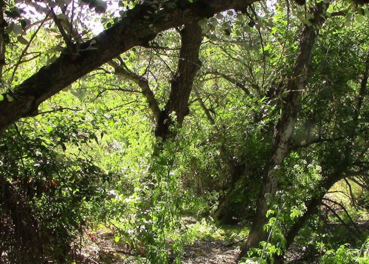
Alto Guadalquivir Natural Park

Municipality: Cazorla
Regions: Sierra de Cazorla
Latitude: 37.93037°
Longitude: 3.30906°
Altitude: 1.4 m
The Alto Guadalquivir Natural Park is located in the north of the province of Jaén, on the banks of the Guadalquivir River. Although most of its territory is in Cazorla, it also extends through Jódar, Úbeda, Peal de Becerro and Torreperogil.
It has a total surface area of 663 hectares and has been declared a Protected Natural Site of Andalusia since July 1989. In this way, the Andalusian Regional Government establishes additional measures for its protection.
It has also been declared a Special Protection Area for Birds (SPA) and Site of Community Interest (SCI) since 2002. At the end of 2016, this area was also listed as a Special Area of Conservation (SAC).
Description
The Alto Guadalquivir Natural Park is made up of three reservoirs:
- Puente de la Cerrada, with 122 hectares.
- Doña Aldonza, with the resurgent lake of La Herradura, with 301 hectares.
- Pedro Marín with the Tablas de Pedro Marín, occupying 240 hectares.
In the 1950s, the wetlands and marshy areas to the south of the hills of Úbeda were seriously damaged. This deterioration was caused by the construction of several dams, the purpose of which was to contain and electrically exploit the waters flowing down the Guadalquivir river, the longest river in Andalusia.
Now, after the silting up, the natural landscapes are once again coming back to life with a vengeance. A clogging is the filling of a natural or artificial depression by the accumulation of sediments; in this particular case, transported by water.
Although the vegetation is once again the protagonist of the Alto Guadalquivir Natural Park, the truth is that this area is facing several problems caused by climate change, such as the frequent fires in the riverside forests, the dragging of sludge, water pollution, the severe drought of recent years, agricultural waste, etc.
Environment
In the Alto Guadalquivir Natural Park you can appreciate the combination of a natural and an artificial system. Thus, the most typical nature of the river, forest, riverbank copses, old wetlands and natural tables coexist in harmony with the artificial clogged reservoirs and marsh vegetation.
The result is none other than a potentially higher biological richness than would be found in each of these ecosystems separately.
The entire artificial wetland is surrounded by crops. These crops are usually oriented towards the cultivation of olive trees, the main form of agriculture in the province of Jaén, and asparagus crops, which are very common in the area.
Vegetation
The vegetation of the Alto Guadalquivir Natural Park is made up of bulrushes and reeds, which are accompanied by bayuncos and tarays. Poplars can be seen on its banks. Soil erosion, caused by irregular rainfall, rugged terrain, erodible lithological substratum and the soil management of this crop, leads to large losses of soil which, washed away by the water, eventually fills the reservoirs.
The loss of soil caused by climatic factors is a major threat to this natural area. The low water level is conducive to the advance of vegetation, thus altering the habitat of many species.
Fauna
The fauna related to aquatic birds is the most representative of the area of the Alto Guadalquivir Natural Park, where we can discover an abundant and varied group in the reservoirs.
The biological richness is reflected in the varied and numerous representation of this type of birds, among which we can highlight populations of Purple Gallinule (a species catalogued as endangered at Community level), Marsh Harrier and Avocet. There are even species of white-headed duck wintering and passing through.
Other less common species, but which can also be observed in this natural site, are the mallard, teal, shoveler, wigeon, wigeon, pochard, tufted duck, gadwall, pintail, pintail, purple heron and grey heron.
Location
How to get to
Alto Guadalquivir Natural Park
More natural areas
In the region of Sierra de Cazorla
Project funded by:


Project coordinated by:


