Burguillos recreation area

Municipality: Bailén
Regions: Campiña Norte de Jaén
Latitude: 38.139269°
Longitude: -3.812686°
Altitude: 375.27 m
Video
The recreation area
Burguillos recreation area is located 5 km north of Bailén, within the area known as Dehesa de Burguillos, a municipally-owned public pasture hill.
Burguillos hill is one of the most significant elevations of the area bordering Sierra Morena and the countryside.
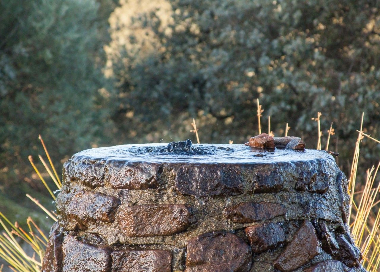
In Burguillos recreation area we can find tables, benches, barbeques, a parking area, a restaurant, fountains an artificial pond as well as a Nature Learning Centre.
This recreation area is visited by people who want to enjoy a countryside picnic with family and friends, go out for a walk or just take a look at the Burguillos’ rich biodiversity.
Dehesa de Burguillos (Burguillos meadow) surrounding area, also known as La Villa, holds a well-preserved Mediterranean wood full of holm oaks, cork oaks and gall oaks. There is also a bucolic cattle raising area and a lovely riverbed through which the River Rumblar flows after passing the dam. The area is full of spectacular rounded granite blocks called Bolos and Piedras Caballeras (Big eroded granite rocks which stand on the ground or on other stones over a narrow base which make stones look unstable) as well as berrocales (spheroidal weathering) typical of the Sierra Morena area.
There are different hiking walks, all of them well-marked and of a low-medium difficulty. We can connect from one route to another. Two walks in particular are worthy of note, the first one that goes through the low pasture hill towards the River Rumblar; and the second one which goes over the Cerro de las Trincheras (Trenches hill), where trenches from the Spanish Civil War can be found.
Location
How to get to
Burguillos recreation area
More natural areas
In the region of Campiña Norte de Jaén
Project funded by:


Project coordinated by:


