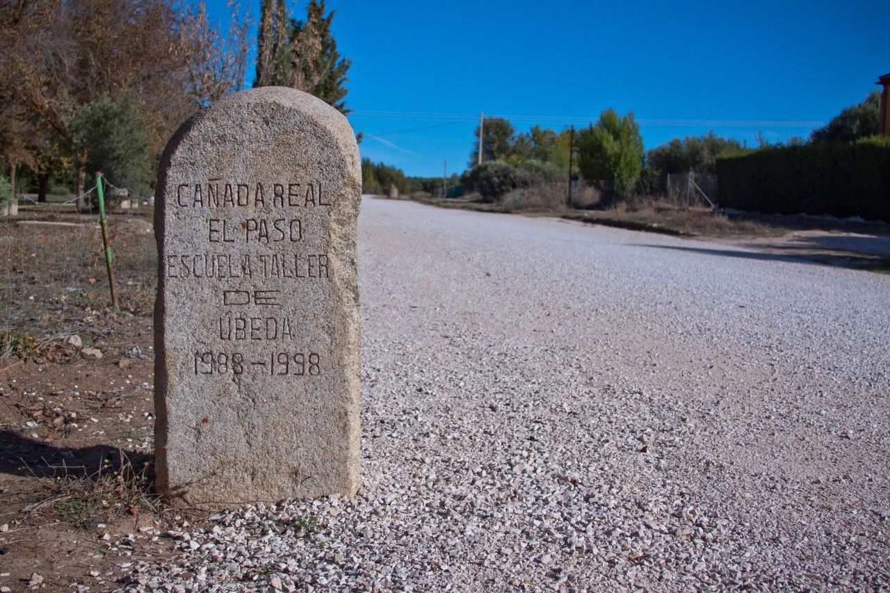
Cañada Real El Paso
Municipality: Torreperogil
Regions: La Loma y Las Villas
Latitude: 38.042385°
Longitude: -3.311536°
Altitude: 754.272 m
Video
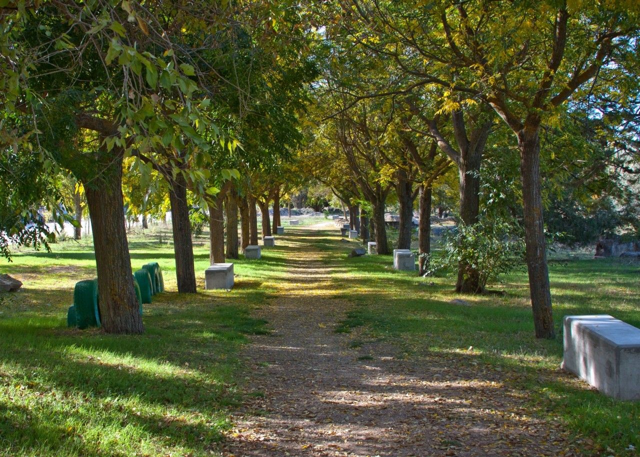
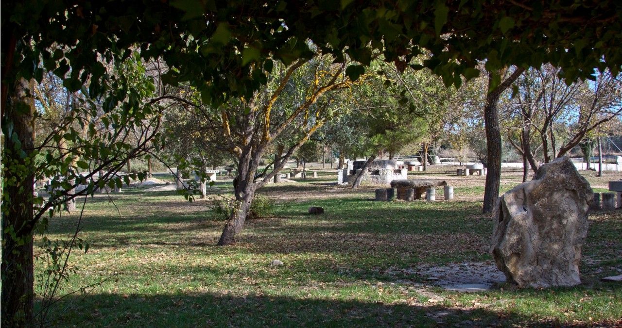
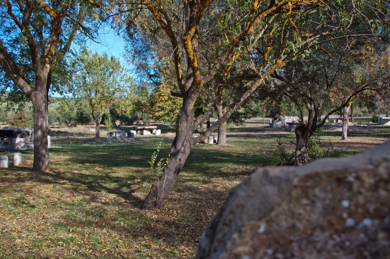
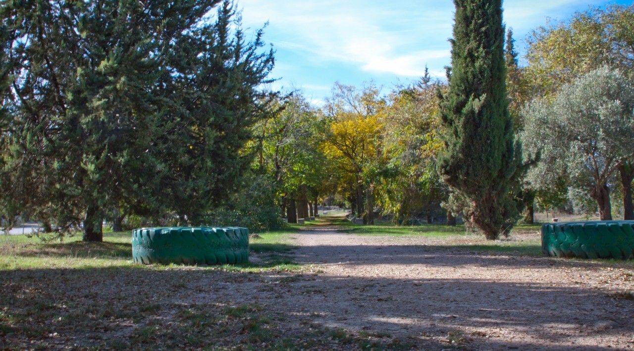
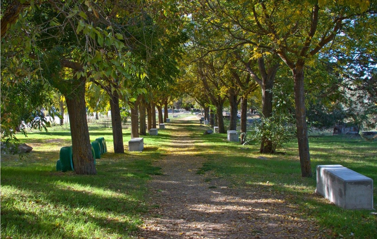
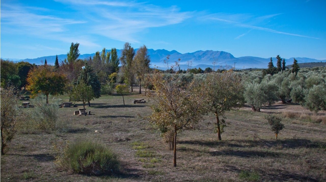
The recreation area
The recreation area is located between the road N-322 in the South and the old road from Úbeda to Sabiote in the North. This area has a surface of 148.604 square meters and belongs to three towns Torreperogil (68,07%), Úbeda (26.37%) and Sabiote (5.56%).
The Cañada Real cattle track of El Paso is part of the Cañada Real of Cuenca, one of the most important cattle tracks included in the UNESCO list. This cattle track goes through Cuenca, Ciudad Real and part of Jaén.
The recreation area has playgrounds, kiosks, drinking fountains, barbeques, tables, benches, football fields, etc. It is the perfect place to enjoy a countryside day.
Nowadays, works to restore the area are in process. These works are environmentally friendly and will retain traditional characteristics.
Photo Gallery
Project funded by:


Project coordinated by:


