La Puerta de Segura riverwalk
Municipality: La Puerta de Segura
Regions: Sierra de Segura
Latitude: 38.349811°
Longitude: -2.737479°
Altitude: 579.126 m
Video
The river walk
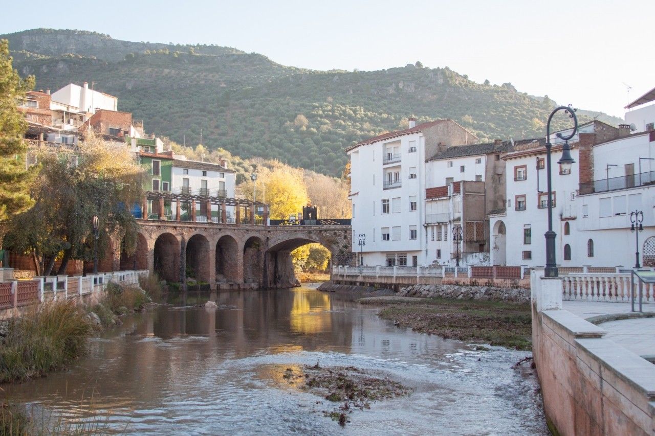
La Puerta de Segura is located in the Sierra de Cazorla, Segura y Las Villas Natural Park. Its name comes from its position as the natural entrance (“puerta” means door) to the Sierra de Segura along the River Guadalimar.
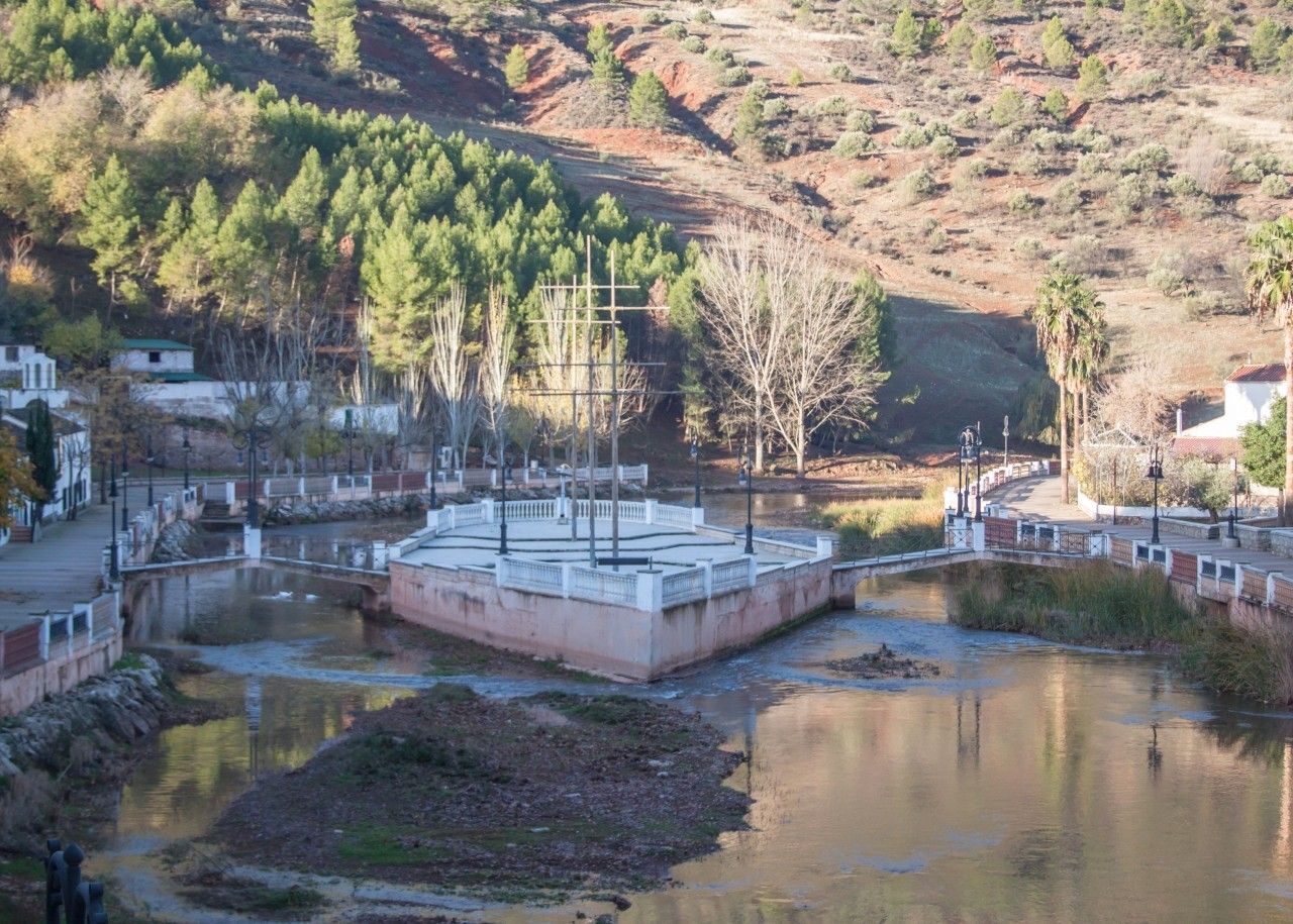
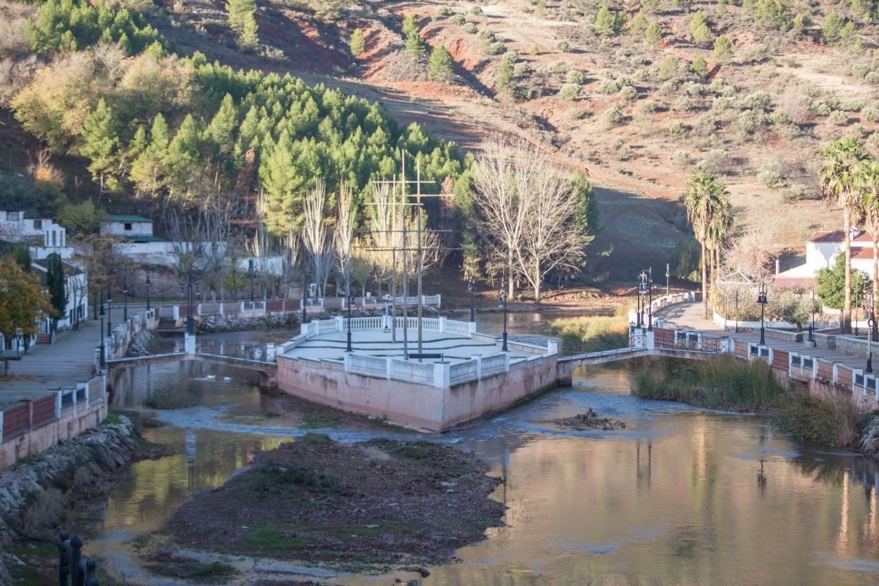
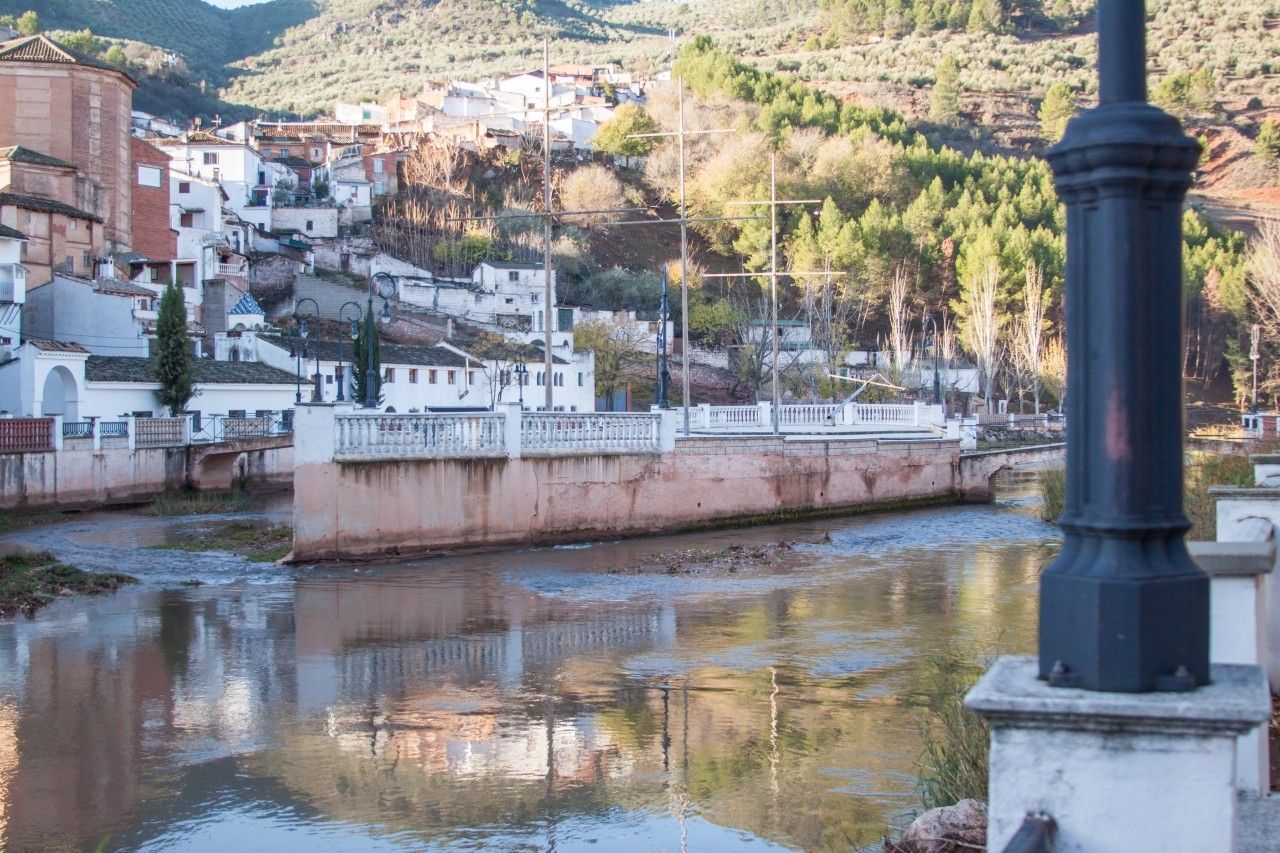
The River Guadalimar divides the town in two and, at the end of the 1990s, a beautiful promenade with two kiosks and a playground was built on its banks.
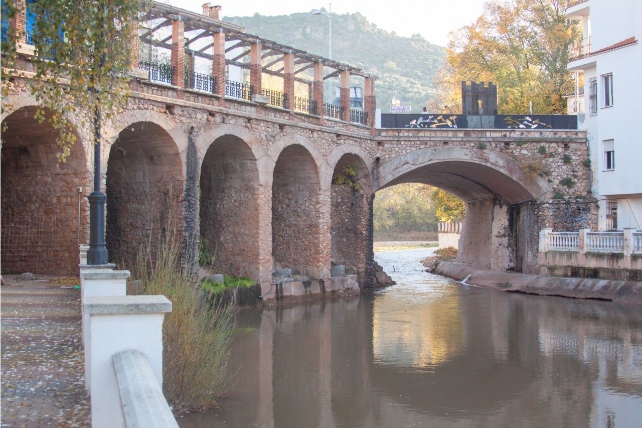
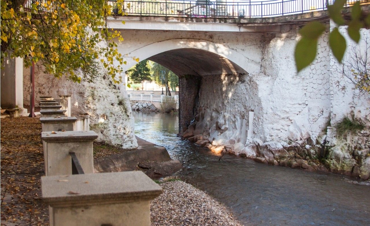
A bridge was built in Arab times over the River Guadalimar, located at the foot of an old fortress. However, the small size of its arch caused a number of floods that led to its demolition at the beginning of the 20th Century. Therefore, a new wider bridge was built on top of the foundations of the former one.
After crossing the river, we find a new bridge in the shape of a boat. This bridge was built to make it easier for people to cross from one bank to the other, since before this bridge was built, people had to go all around the town to cross to the other side.
Photo Gallery


Location
How to get to
La Puerta de Segura riverwalk
More natural areas
In the region of Sierra de Segura
Project funded by:


Project coordinated by:


